
Montclair ZIP Codes and Their Reach
Montclair is principally served by ZIP Code 91763. The research found no authoritative polygon table that lists every edge overlap or alternate ZIP for every City parcel, so the safe rule is address-by-address verification. A postal city label identifies delivery geography. It does not by itself prove that the parcel lies inside incorporated Montclair or that a mailing addressee lives there.
| ZIP Code | Areas Covered | Post Office | Notes |
|---|---|---|---|
| 91763 | Montclair and its postal delivery area | Verify with USPS ZIP Code Lookup | Primary ZIP identified for municipal Montclair addresses; postal footprint is not a city-limit map. |
Use 91763 as a starting filter for a modern mailing question, not as a substitute for a full street line. The same five-digit code can cover addresses that differ in unit designator, delivery route, parcel jurisdiction, and tax mailing destination. A returned ZIP+4 improves delivery precision, but it still does not identify the owner, occupant, or city boundary.
The research did not verify a Montclair-serving PO-box-only or unique ZIP, a ZIP split, or a ZIP realignment year. Do not add nearby postal codes merely because they touch the region. Test an actual address through USPS, then compare the returned city and ZIP with County GIS and planning geography.
Montclair ZIP Fields for 91763
The USPS tool is the authoritative first check for a current delivery line. Use the by-address mode, not a city-name guess, when a parcel is involved. It can standardize a street address, unit, city, state, ZIP, and ZIP+4 where recognized. USPS geography answers delivery, while PIMS and County GIS answer land and jurisdiction.
| Street Address | Required house number and street name. |
|---|---|
| Apt, Suite, Other | Optional unit or designator for a delivery point. |
| City | Enter Montclair when that is the mailing city. |
| State | CA, selected from the state control. |
| ZIP Code | Optional existing ZIP used to validate an address. |
| Find | Returns the standardized line and ZIP+4 when recognized. |
The USPS ZIP Code Lookup is the source linked to the form below.
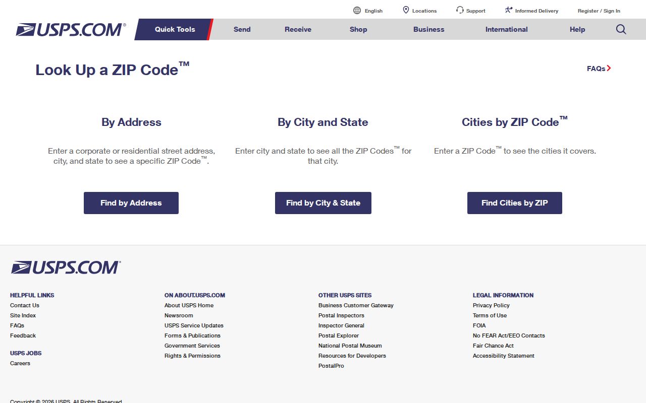
The USPS capture shows why the complete address matters. A city result alone cannot decide whether a parcel is inside the City of Montclair.
Carry Montclair ZIP Data Into Parcels
After USPS returns a recognized delivery line, use the same street number and name in the County Assessor's PIMS system. The public application is documented as address and APN keyed, not as a ZIP-wide owner search. The resulting parcel map, situs, legal description, assessment categories, and transfer-date context can support the next step without turning postal data into a people list.
The Treasurer-Tax Collector tool can show a bill or payment status, but a tax record is not a deed. County GIS can show parcel boundaries and adjacency. The Recorder's index is name and document based. A ZIP filter may appear in an address display, but no verified official ZIP-browse mode was documented for these county systems.
San Bernardino County Treasurer-Tax Collector lookup is the correct bill-status route.
The tax lookup illustrates a separate county function. Keep payment status, parcel ownership, and residence as three different questions.
Montclair ZIP and Census Geography
The Census Bureau's geography guidance helps explain why a ZIP code directory cannot stand in for a municipal map. Postal areas, census areas, incorporated places, tracts, and urban or rural classifications are built for different uses. A record may carry a Montclair mailing label while a statistical or jurisdictional field uses another geography. Compare the full address, parcel, and boundary source.
Montclair's 2020 Census population was 37,865, and the Census QuickFacts table gives a July 1, 2025 estimate of 37,563. Those figures describe the City as a statistical place, not a searchable list of people. QuickFacts also reports 10,652 households for 2020-2024, which reinforces why one parcel result cannot be read as a complete household directory.
Census geography guidance is the source for the boundary distinction.
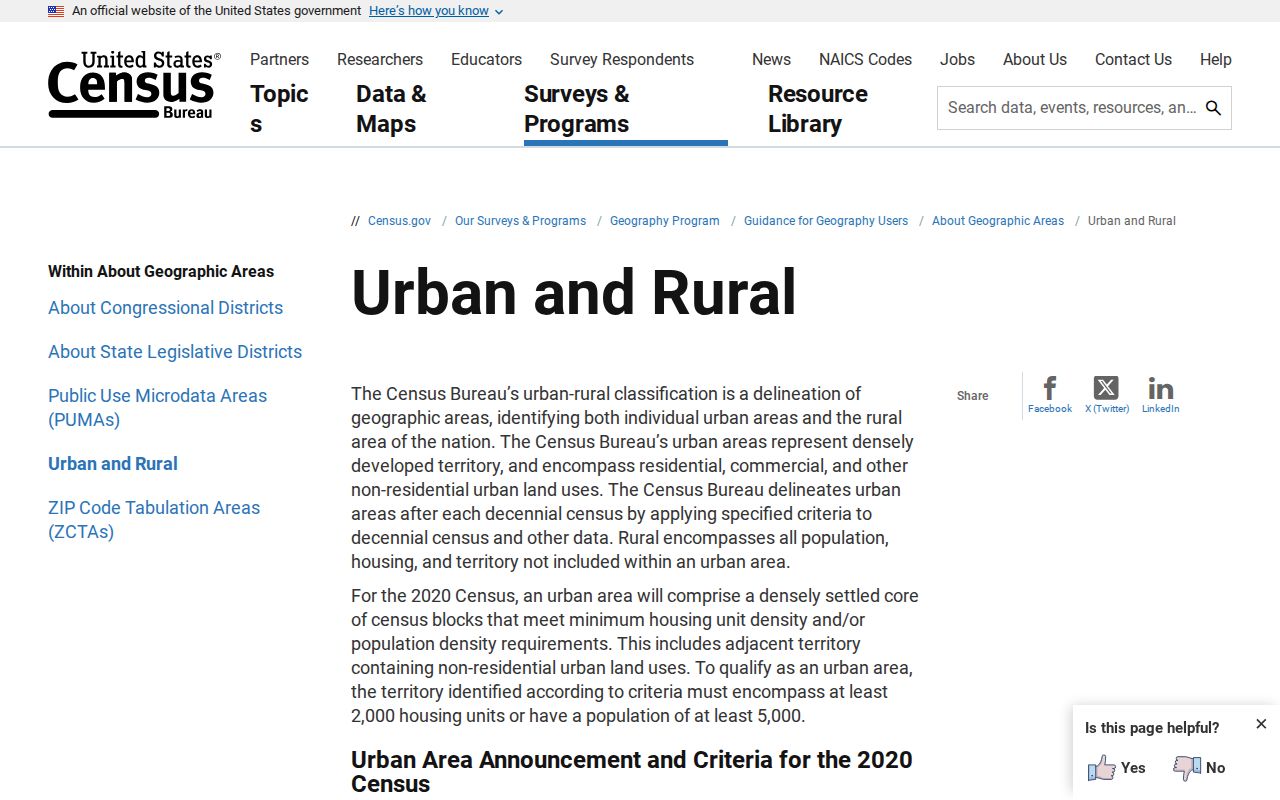
The geography view supplies context for postal and statistical labels. It does not replace USPS validation or the City's planning and County GIS boundary checks.
What Montclair's ZIP Context Says About Scale
QuickFacts reports 3.52 persons per household and a 54.8% owner-occupied unit rate for 2020-2024. A property roll therefore identifies one assessed connection, not all people who may be tied to the parcel. The postal ZIP helps route an address, but it cannot resolve household composition, protected addresses, or a same-name problem.
Use demographic data as context only. Do not infer a person's identity, language, family, or status from a ZIP, neighborhood label, or surname. The responsible ZIP code directory keeps the postal layer modest and hands the verified address to the right custodian.
Montclair Census QuickFacts is the official statistical source.
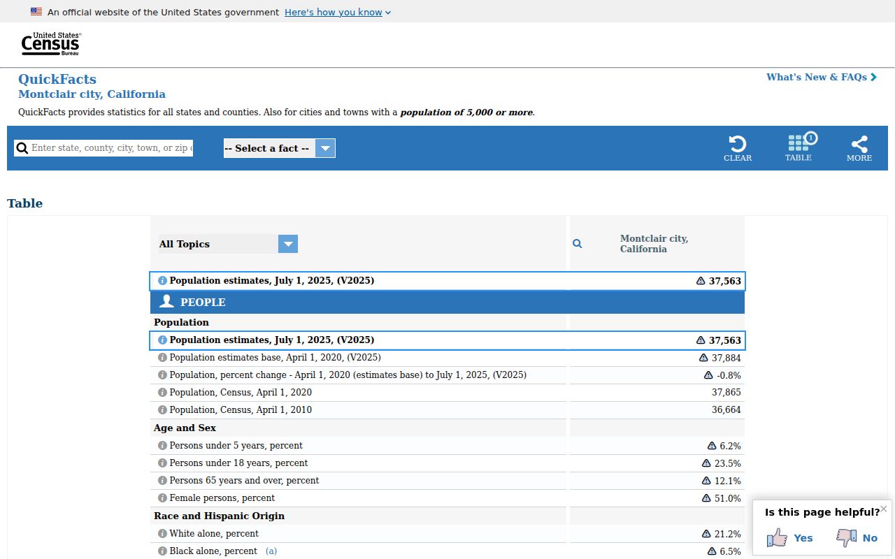
The QuickFacts capture adds city-scale context, not resident-level proof. Current parcel and event records still need their own searches.
Montclair ZIP and Civic Geography
The Montclair Chamber describes the City as part of the Pomona Valley and Inland Empire, close to Los Angeles County and the San Gabriel Mountains. That regional position explains why older directory titles and newspaper coverage may use broader place labels. It does not justify adding a neighboring ZIP to the Montclair list without an address-level check.
Use the Chamber for community and business context, City planning for incorporated geography, County GIS for parcel context, and USPS for delivery form. Each source has a different keeper and a different kind of public evidence.
Montclair Chamber community geography supplies the regional context.
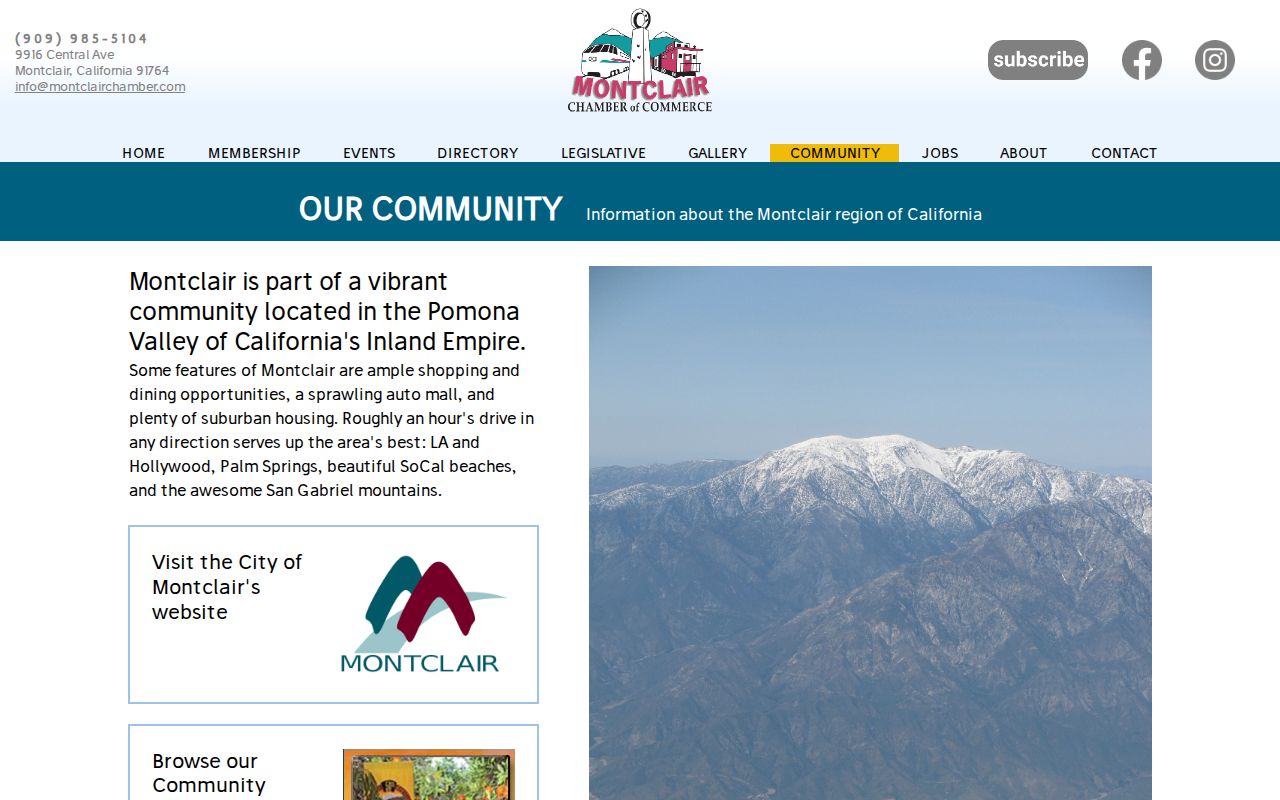
The community page shows why regional identity and postal geography can overlap without being the same boundary.
Narrow a Montclair ZIP Code Before Searching
A ZIP code can narrow a mailing question, but the main Montclair property and deed systems do not advertise a ZIP-wide public owner search. PIMS searches by APN or address, and the Recorder index searches by party, document, date, or book/page. My Voter Status is a credentialed self-check. A formal voter-file request needs a qualifying purpose and does not turn the roll into a public ZIP directory.
- Run the full street address through the USPS ZIP Code Lookup and save the standardized address and ZIP+4 when returned.
- Carry the verified situs into ARC Property Information and Parcel Access and save the APN.
- Use County GIS to compare the parcel with the City of Montclair boundary and nearby jurisdiction layers.
- Use the Recorder's name and document index only after the parcel or person key is known; ZIP is not a reliable historic join.
- For a voter-file question, contact the County Registrar of Voters and state the authorized purpose, geography, and requested product.
Keep the resulting fields in separate columns: the USPS standardized address, the five-digit ZIP, any ZIP+4, the County APN, the situs, the parcel jurisdiction, and the source date. This prevents a postal correction from silently changing the land record being researched. If the address is a post-office box or a business, stop before treating it as a residence clue.
Once a ZIP has produced a verified street and APN, the Montclair street directory workflow can take over at the parcel level.
Montclair ZIP Lines Are Not City Lines
91763 means postal Montclair. “City of Montclair” means an incorporated jurisdiction. Those labels often align, but they answer different questions at an edge. USPS standardizes delivery. County GIS and City planning maps supply parcel and boundary context. PIMS supplies the situs and APN. The Recorder supplies a party and instrument trail. A tax mailing line may point elsewhere. Never use the ZIP alone to decide which custodian holds a record.
- ZIP code
- A USPS delivery area used to sort mail, not a legal city boundary.
- ZIP+4
- The extra four digits refine a delivery segment within the five-digit ZIP.
- PO-box ZIP
- A ZIP used chiefly for post-office box delivery; the research did not verify one specific to Montclair.
- Unique ZIP
- A ZIP assigned to a single organization or building rather than a broad residential area.
- Carrier route
- A postal delivery route nested within a service area, not a parcel or neighborhood boundary.
At an edge, ask three separate questions: does USPS deliver to the line as Montclair 91763, does the parcel fall inside the incorporated City, and which county or city office holds the requested record? The answer may be yes, yes, and ARC; yes, no, and another jurisdiction; or a mailing address may point away from the parcel entirely. Recording all three answers keeps the ZIP page from creating a false boundary.
ZIP history also has a time limit. ZIP Codes were introduced nationally in 1963, after Montclair's 1956 incorporation and 1958 renaming. A deed, directory, census schedule, or newspaper from the earlier period will use a place name, route, street, or county description instead. For a historical address, use the modern ZIP only as a present-day locator after the older source has been identified.
For a record request, describe the address in the form used by the custodian and include the date range, APN, parcel map, or document number when known. A ZIP-only request is too broad for the City, County Assessor, Recorder, or Registrar of Voters to interpret reliably. The more precise the address key and record type, the easier it is to send the question to the correct office without asking that office to create a new directory. That precision also makes a later correction easier because the source and date remain identifiable. It keeps a postal lookup in its proper role: a routing clue that helps locate the next official record, not a claim about a person. It also gives the records custodian a usable boundary for a focused request.
The practical handoff is simple: USPS validates delivery, GIS validates location, PIMS identifies the parcel, and the Recorder or City Clerk handles the record request. Keeping those roles separate is the core of a reliable Montclair ZIP lookup.