
Walking a Montclair Street Record by Record
A careful street directory search moves from geography to records. Put the situs address into the San Bernardino County property system and save the APN. Select that parcel in the county map, then inspect the neighboring polygons one at a time. The APN and legal description become the bridge to recorded instruments. The result is an address-keyed trail, not a promise that every person at the address will appear.
Use each source for the fact it can actually establish. PIMS supplies parcel and assessment context. GIS supplies adjacency and layers. The Recorder index supplies parties and document locators. A City of Montclair request can retrieve a defined permit or planning record. Historical directories and released census schedules can add household clues. A voter record is purpose-restricted and intended for a person's own check, not a public street list.
- Enter the physical address in ARC Property Information and Parcel Access; record APN, situs, legal description, and any visible assessment facts.
- Open the San Bernardino County ArcGIS viewer and pan along the street, checking both sides and any rear or corner parcels.
- Search the Official Records index by the apparent grantee, date span, and document type; use the deed's APN to reject a same-name parcel.
- Ask the City of Montclair for a narrow permit, inspection, planning, or code record by exact address or APN when no online index answers the question.
- Use a reverse directory, census schedule, or newspaper to test a past household, and keep the publication year separate from the deed date.
The final step is often a handoff. When the street question becomes a single-person identity question, a Montclair resident lookup uses case, vital, and affiliation records with a different standard of proof.
Montclair PIMS Fields for a Street Search
The county's PIMS route is address-first because the Assessor manages parcels, not a public list of households. Use the street number and name as a situs search. If the map offers a match, save the APN before leaving the result. A mailing address may point to a tax-notice destination outside Montclair, so it should never replace the physical location in the search log.
ARC describes Parcel Access as a public property-information and map service. It also supplies assessment history from 1978 to the present, parcel maps, secured-roll data, property characteristics, and transfer-date files. The owner-name display can be restricted under Government Code §7928.205. The search-field set below is the useful working model documented in the research.
| Assessor Parcel Number | Direct parcel key; follow the county's displayed punctuation and spacing. |
|---|---|
| Property Address | Street number and name for the situs; do not substitute a tax-mailing line. |
| Map navigation | Pan, zoom, and click a parcel after reaching the Montclair street segment. |
| Layers and basemap | Reference context changes with the live application; use the parcel layer for the join. |
| Search and clear | Run the selected address or APN query, then reset before testing another parcel. |
The County Assessor's property-information page explains the portal route and its limits. Treat a result as parcel evidence. It does not decide permitted use, legal title, or current physical occupancy.
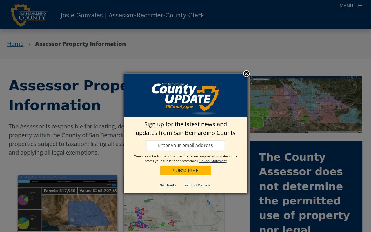
The assessor capture shows why an address is the right first key for a street directory. Once the APN is known, the rest of the record chain becomes less dependent on spelling.
Montclair GIS and Street Adjacency
The county GIS viewer turns a street into a parcel sequence. Search a place or address, zoom until the subject polygon and its surrounding parcels are clear, then identify each polygon and note its APN. Layers, basemaps, identify tools, print controls, and map navigation can change as the live application changes. The map is a geography tool, not an occupancy roll.
Adjacency needs care at corners, alleys, apartment complexes, and condominium developments. One tax parcel can cover many units. A rear parcel may face another street. A nearby polygon can sit across a jurisdiction line or a drainage or railroad feature. Compare the GIS selection with the assessor result and legal description before calling someone a neighbor or treating two addresses as one block.
- APN
- The assessor's parcel number, used to carry a mapped location into property and deed research.
- Plat
- A recorded map that lays out lots, blocks, streets, or easements within a subdivision.
- Legal description
- The deed's durable land description, which can outlast changes to a street name or number.
The San Bernardino County Open Data portal and the county ArcGIS organization are the documented entry points. Ownership or address attributes can link back to assessor data, but a map click alone is not proof of either.
Montclair Records That Follow an Address
A street directory is strongest when its sources are kept distinct. The assessment parcel locates land. The GIS layer shows shape and adjacency. The Recorder's party index reveals instruments, not a street-wide owner list. City permit files can date work. Historical directories and census schedules can show listed people at a moment in time. The following coverage table makes the handoffs visible.
| Record Set | Keeper | What It Shows | Access |
|---|---|---|---|
| PIMS parcel record | San Bernardino County Assessor | APN, situs, map, assessment categories | Address/APN lookup |
| GIS parcel map | County GIS and ARC | Footprint, adjacency, boundaries, layers | Public viewer |
| Official Records index | San Bernardino County ARC Recorder | Grantor, grantee, type, date, document locator | Index online; copy route separate |
| City permit request | Montclair Community Development or City Clerk | Defined work, issue/final dates, public applicants | Focused CPRA request |
| Reverse directory or census | Library, repository, or NARA | Historical listed people and household snapshots | Coverage varies by year |
| Voter information | California Secretary of State and County ROV | Self-status or approved-purpose file | Not public street browsing |
The APN ties the parcel map to assessment facts and helps reject a same-name deed. The Recorder index is party and document based, so a modern street string may not retrieve an old instrument. The County Treasurer-Tax Collector can confirm bill or payment status, but a tax record is not a substitute for the deed or proof of residence.
Montclair Street Deed Chain
The Recorder indexes people and instruments rather than maintaining ownership by modern street address. Start in PIMS, carry the APN and legal description into the Official Records search, and look for the current titleholder as grantee. Record the document number, recording date, type, party roles, and any APN or legal-description reference. The instrument image or ordered copy is where the full land description and transfer language live.
Read the seller as grantor, then search that grantor as an earlier grantee. Repeat within a date range. Trust transfers, quitclaims, spouses, and entities can create title links without proving a household move. ARC states that the online index reaches 1958 to the present; earlier work requires the Recorder counter, books, film, or archive path.
| Result field | Why it matters | Next move |
|---|---|---|
| Party and role | Separates grantor from grantee | Search the prior grantor as grantee. |
| Recording date | Places the instrument in the chain | Set an earlier date span. |
| Document number or book/page | Retrieves the cited instrument | Order a copy or ask at the counter. |
| APN or legal description | Rejects a same-name parcel | Compare against PIMS and the deed. |
The ARC Official Records route is the source link for the index shown here.
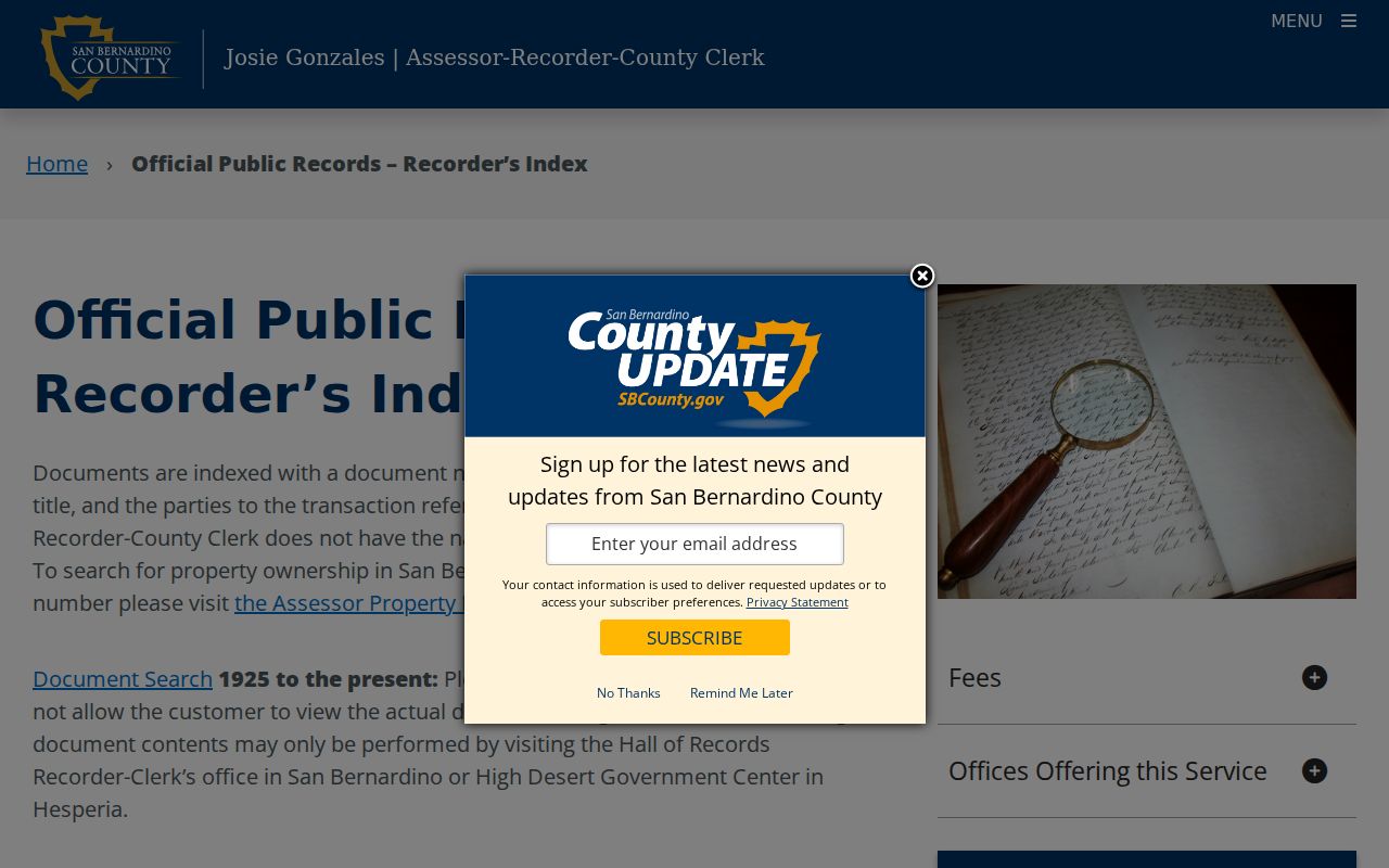
The recorder capture shows the index-to-copy handoff. A result is a locator until the underlying instrument and land description are checked.
Montclair Street Permits and Change
When a street search asks what happened at an address, a defined permit or planning request can be more useful than a broad request for every person ever connected to the parcel. The City of Montclair Building and Community Development routes cover permit and inspection contacts, while the City Clerk's records-request route handles identifiable municipal records. Ask for a precise address or APN, a work type, and a date span.
Useful fields can include a permit number, scope, application date, issue date, final date, status, and nonexempt applicant or contractor information. The research did not verify a stable public indexed permit database or a complete online coverage year. A request therefore needs to describe an existing record. CPRA does not require the City to create a new street directory or answer an open-ended research question.
Montclair's Public Records Request route is the fallback when the department page does not supply the needed address record. Treat a permit as evidence of authorized work or a named participant, not as proof that a person lived at the site.
Montclair Street Labels Through Monte Vista
Older street research has a local name trap. The City history says the community incorporated in 1956 as Monte Vista and was renamed Montclair in 1958. Deeds, directories, permits, and newspapers from that transition may use Monte Vista even when the modern postal city is Montclair. That is a place-name change, not proof of a citywide street renumbering. No official source reviewed supplied a street-renumbering year, so a search should not invent one.
Postal, situs, mailing, legal, and municipal labels answer different questions. USPS standardizes delivery. PIMS identifies the physical parcel. A tax-mailing line identifies notice delivery. A deed's lot, block, tract, or metes-and-bounds language identifies land. City planning and County GIS help test jurisdiction. Keep all versions in the research log, especially for records near the 1956-1958 transition.
| Historical place | Monte Vista for the earlier municipal context. |
|---|---|
| Current place | City of Montclair, within San Bernardino County. |
| Postal check | USPS address lookup, including unit and ZIP+4 when recognized. |
| Land check | APN and legal description from the county parcel and deed systems. |
Read an Older Montclair Street Directory
A reverse or criss-cross directory works from street name and number toward a listed householder or telephone subscriber. Scan the street heading, note intersections and boundary markers, and record the exact edition, page, repository, and abbreviation key. The regional Arda Haenszel California Room holds San Bernardino-area city directories from 1887 through 1968, but the collection is not a verified Montclair-only run. Inspect the title page before treating an entry as local.
Use “r,” “h,” “bds,” owner marks, spouse notation, and phone fields only as that volume defines them. A listed adult may be a subscriber or householder, while a deed party may be an owner who never lived at the situs. Compare adjacent editions, the 1950 census, deeds, permits, and newspapers. The historical collection and its gaps are described in the Montclair city directory collections page.
- Criss-cross directory
- Street-order material that reverses the usual alphabetical name search.
- Householder index
- An address or household-name aid that may be separate from the main alphabetical section.
- Canvass date
- The period represented by a publication, which may not equal its print date or a move date.
Can Montclair Voters Be Searched by Street?
Not through the public My Voter Status form. That portal requires personal identity fields and reports the registrant's own status, polling place, districts, and ballot information when applicable. It does not offer a street, ZIP, or block browse. California Elections Code §2194 controls fuller voter-file access, and an approved-purpose request must identify the requester, intended use, geography, product, and certification.
Home address, phone, email, precinct, birth date, credential numbers, Social Security digits, and signatures do not become general directory fields because a county election office holds them. Safe at Home and confidential registration categories add suppression. A public street directory should say that the voter roll is a limited corroboration channel, not a list to assemble around an address.
| Need | Allowed public route | Limit |
|---|---|---|
| Check personal registration | My Voter Status | Credentialed self-lookup. |
| Request a voter product | Secretary of State or County ROV | Authorized purpose and signed use terms. |
| Identify a block's voters | No ordinary public browse | Protected and permissible-use rules remain. |
Where a Montclair Street Directory Ends
An address-keyed search cannot establish every household member, present physical occupancy, a relationship between co-addressed people, a protected address, or a private utility or delivery account. The Assessor's mailing address is a notice destination. A deed is a title transaction. A directory is a snapshot. A police or fire report is an incident record with redactions and access rules. None should be expanded into a complete list of people on a street.
California's Driver's Privacy Protection Act restricts DMV-derived residence information. Public voter access is limited by Elections Code §2194. Safe at Home can replace a participant's public address with a substitute mailing route, and Government Code §6208.1 restricts threatening publication. When a result is withheld, that may be the lawful protection working as designed.
Lawful personal use. Montclair street records can support family history, civic research, reconnecting, or careful property curiosity. California Penal Code §646.9 and related law prohibit stalking, threats, and repeated harassment; stop when a record is protected and verify with the custodian.